
Most properties have no drawing of their drainage. What exists on a water company’s records is the public sewer, not the pipework inside your boundary, and after the 2011 transfer even that division is not always where people assume.
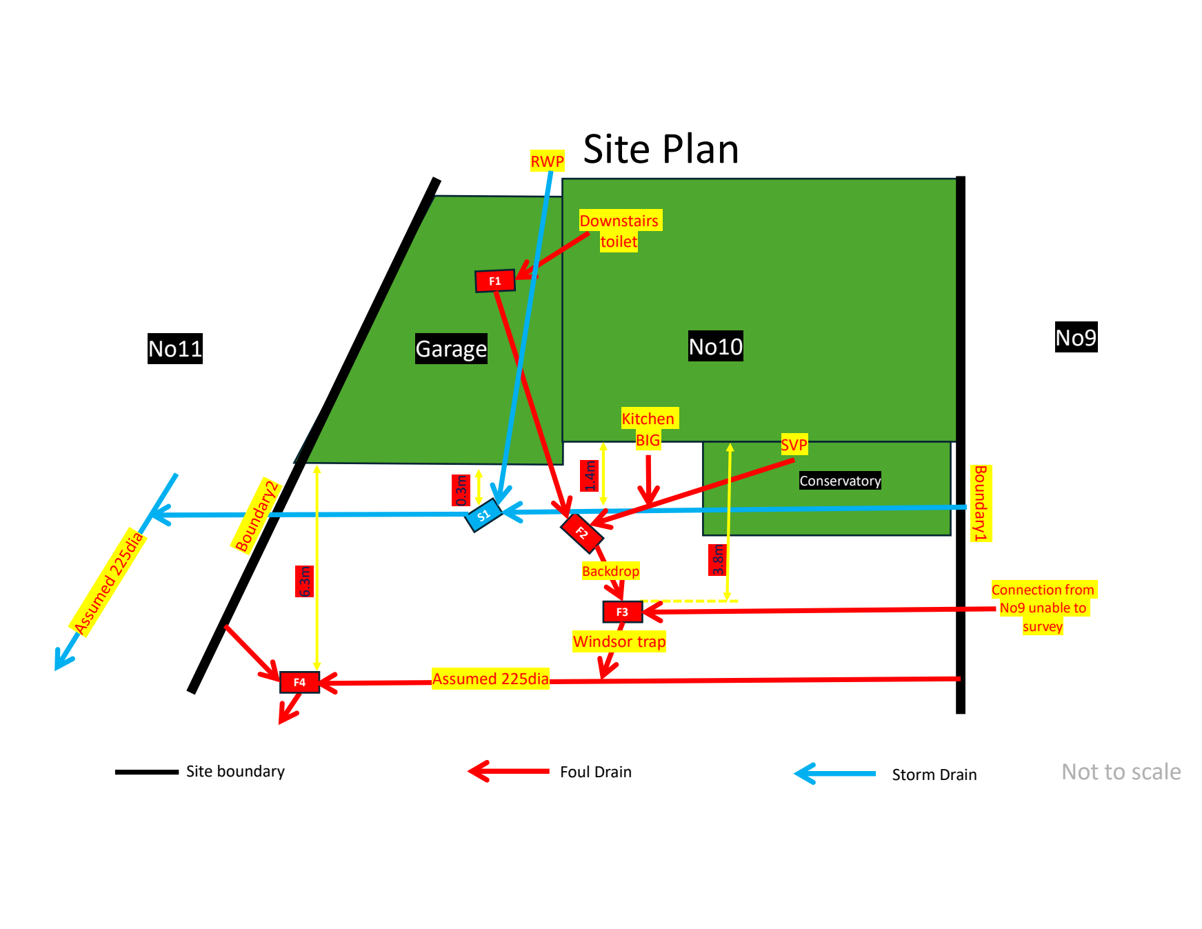
Drain mapping produces the drawing: where every run goes, which way it flows, what connects to what, and how deep it is.
Call 01902 475 611 · Request a survey
When people need a plan rather than a condition report
Before designing an extension. Your architect needs to know where the pipe runs and how deep it is before the foundations are drawn, not after. See build over agreements and sewer diversions.
When drainage is shared and nobody knows how. Terraced and semi-detached properties across the Black Country routinely share runs in ways nobody has recorded. The plan is what settles who is connected to what, and therefore who is responsible.
As-built records on completed work. What was installed is not always what was drawn. A record of the system as it actually exists is worth having before the contractor leaves site.
Asset management on commercial premises. Yard drainage, interceptors and surface water systems get altered repeatedly over the years. A current plan is usually the only accurate record in existence.
Buying, selling or settling a dispute. A drawing is harder to argue with than a recollection.
How we do it
The camera carries a sonde: a transmitter whose position is picked up at the surface, so the line of the pipe can be traced and marked as the survey runs. Depth is recorded at the same time.
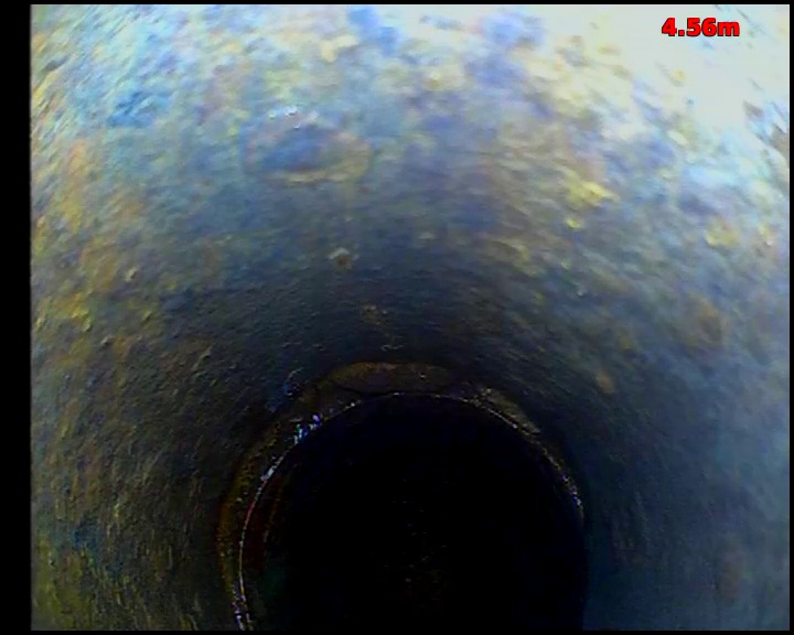
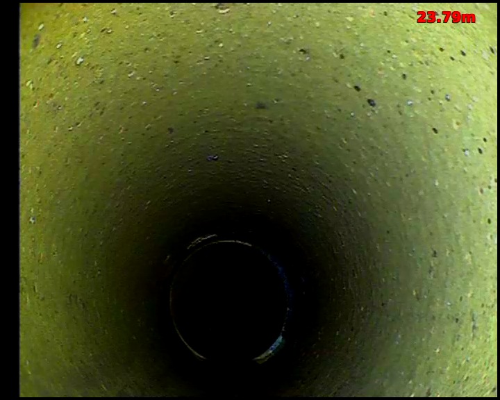
That means one visit produces two things: the condition survey, graded section by section and coded to MSCC, and the site plan showing the layout. They are more useful together than either is alone: a plan tells you where the pipe is, the survey tells you whether it is any good.
The report comes back the same day, by NADC-certified surveyors.
What the plan shows
- Every run we can access, with flow direction
- Manholes, inspection chambers, rodding eyes, gullies and soil vent pipes
- Connections and junctions, including ones nobody knew about
- Pipe diameter and material where established
- Depth at surveyed points
- Foul, surface water and combined runs distinguished
Common questions
Can you find a drain with no manhole? Usually. We can enter through a gully, a rodding eye or a soil vent pipe, and trace from there.
Can you find a lost or buried manhole? Frequently, yes, buried chambers turn up on surveys regularly, often under a patio or a lawn added later. The sonde locates the chamber even when the cover is gone.
Will you mark it out on site? We can mark the line on the ground as we trace it, which is what most people want if they are about to dig.
Do I need the condition survey as well? Not necessarily, but they are done in the same visit and the incremental cost is small. If you are about to build over the pipe, knowing its condition matters as much as knowing its position.
Is this the same as a Severn Trent sewer record? No. Their records cover public sewers and are frequently incomplete, particularly for the lateral drains that transferred in 2011. This is a survey of what is actually there.
Related: CCTV drain surveys · Build over agreements · Commercial drainage surveys
Related: Percolation tests for soakaways
Talk to the person who will do the work.
Surveys across the West Midlands, south Staffordshire, east Shropshire and north Worcestershire. Unblocking closer to home.